

Latest Version
PicsCanvas
Travel & Local
Windows
Free
9nx0zl3qmfg9
Report a Problem
More About Maps - Transit & Food, GPS Navigation
Navigating Your World with Maps - Transit & Food, GPS Navigation
Finding your way around a new city or even your own hometown shouldn't be a stressful experience. With Maps - Transit & Food, GPS Navigation, Windows users have access to a straightforward routing utility designed to simplify transit planning, local discovery, and daily commuting. Developed by PicsCanvas, this travel and local application integrates open-source mapping data to help you plot courses, check local conditions, and pinpoint essential services on the fly.
Streamlined Mapping and Local Discovery
Unlike heavy navigation software that bogs down your system, Maps - Transit & Food, GPS Navigation focuses on the essentials. It leverages reliable geospatial data from OpenStreetMap and Nominatim to deliver clean, readable layouts. Whether you are walking, driving, or planning a commute, the tool provides a solid starting point for your journey.
Here is what makes this navigation utility stand out for daily use:
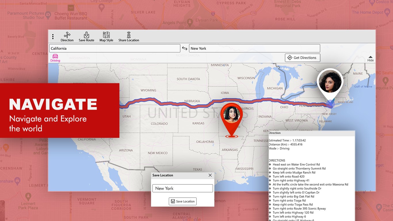
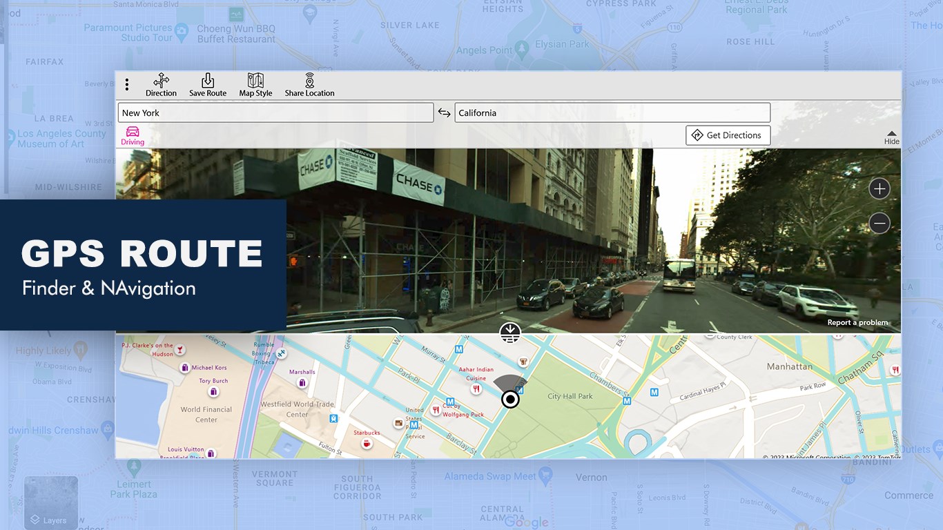
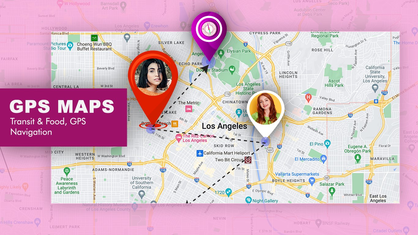
- Point-to-Point Routing: Easily search directions between any two locations to visualize your route from point A to point B.
- More Accurate ETAs: Plan your day efficiently with realistic estimated times of arrival.
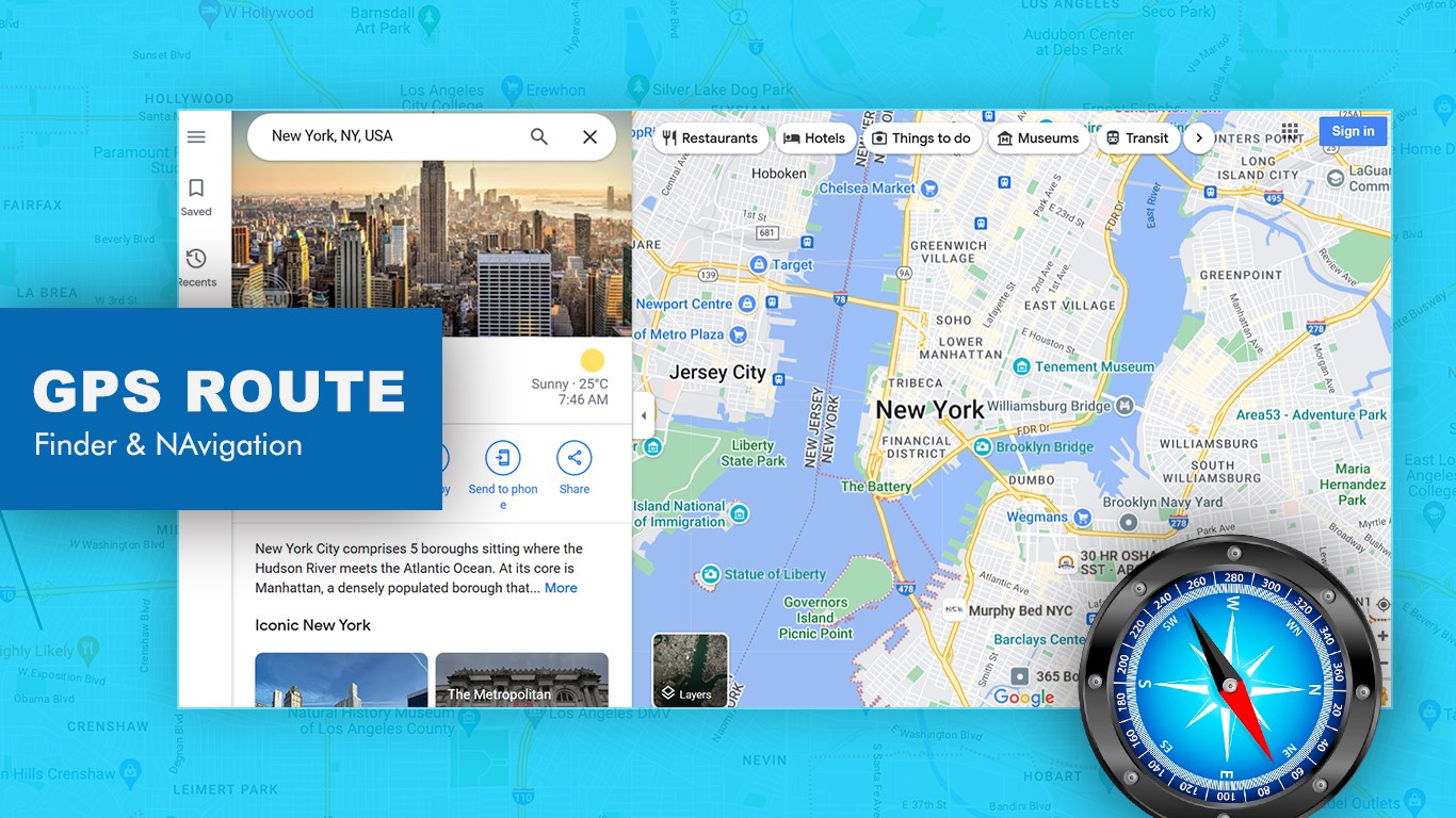
- Local POI Search: Instantly locate nearby necessities such as ATMs, gas stations, pharmacies, and parking.
- Culinary Exploration: Discover local restaurants, cafes, and eateries that match your taste preferences.
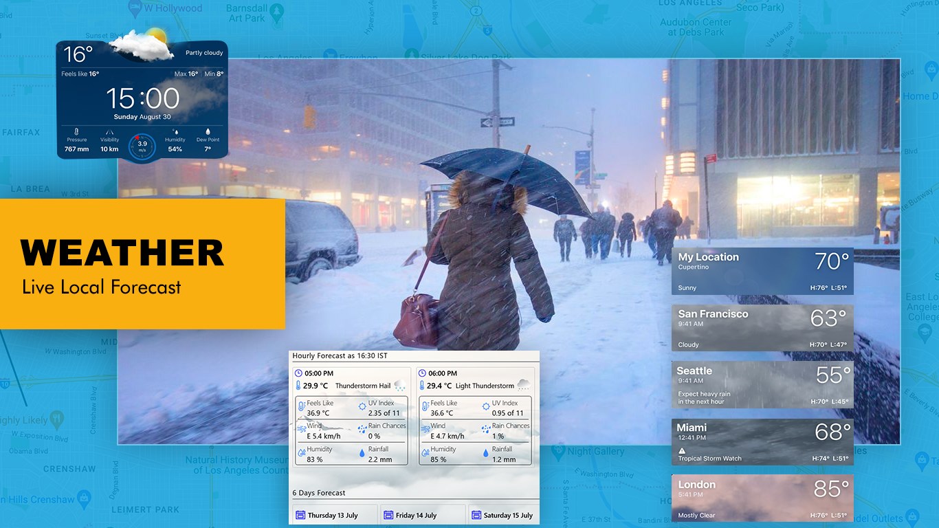
- Integrated Weather Forecasts: Stay ahead of the elements with local weather updates and a built-in 6-day forecast.
Who Is This Navigation App For?
This application is highly suited for Windows desktop or tablet users who prefer planning their journeys on a larger screen before heading out. It serves as an excellent companion for travelers mapping out itineraries, remote workers looking for nearby coffee shops, or anyone needing a quick, reliable route planner without complex mobile distractions.
An Accessible Travel Companion
By utilizing crowd-sourced mapping resources under the Open Database License (ODbL), the app ensures that community-driven updates keep the local information relevant. Coupled with its straightforward user interface, it removes the guesswork from transit planning and local dining exploration.
If you are looking for a reliable, no-nonsense desktop routing solution, you can explore more details and try it out by visiting the official Microsoft Store page.
Rate the App
User Reviews













Popular Apps









Editor's Choice